Our Services
GIS Data
We provide custom spatial and statistical data for a variety of marketing applications.
Crop Inventory
Pacific Ag Survey conducts comprehensive acreage inventories to support highly accurate crop estimates.
Image Analysis and Remote Sensing
We use the latest high-quality aerial photography, satellite imagery and field checking techniques to generate visual data.
Aerial Survey Data
Site Selection and Suitability Analysis
Crop and Orchard Monitoring
Field Checking
Current Projects
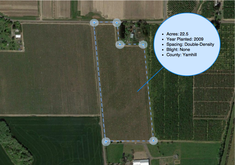
2025 Oregon Hazelnut Industry Aerial Imagery Survey
To assist the Oregon Hazelnut Marketing Board and the National Agricultural Statistics Service, Pacific Agricultural Survey conducts annual research to map the growth and development of the Oregon Hazelnut industry.
Orchard Geometry Project
Expanded data collection will yield information about number and arrangement of orchard trees five to ten years old.

Contact
Please contact Mike McDaniel, Principal of Pacific Agricultural Survey, to learn how we can help.

